About
JD Jorgensen
Principal Consultant, Watershed GeoData LLC
Black Mountain, North Carolina
I started Watershed GeoData because I kept seeing the same pattern: contractors losing money to errors that should have been caught, and agencies scrambling for GIS support that wasn’t there when they needed it.
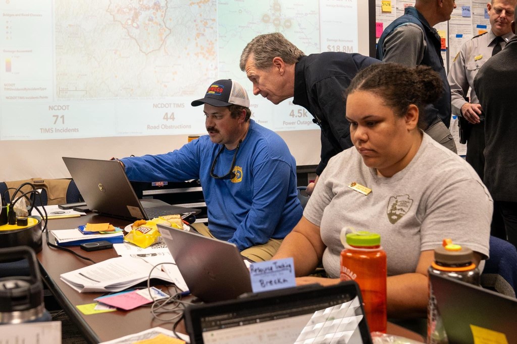
My background is unusual in this space. I’ve managed debris haulers and overseen monitoring firms for large-scale disaster programs. I’ve also been embedded with contractor field crews doing load calls and TDMS operations. Additionally, I’ve deployed to Emergency Operations Centers as a GIS specialist when disasters hit close to home.
That combination means I understand how these operations actually work. Not just from dashboards, but from the field. When I build a documentation system for a contractor, it reflects how monitoring and reimbursement reviews actually happen, because I’ve managed both sides of that process. When I deploy to an EOC, I know ICS protocols because I’ve worked within that structure.
Alongside Watershed GeoData, I currently serve in a state role supporting a streamflow rehabilitation grant program: documenting sites from boats and in dense vegetation, flying UAS mapping missions, and building reporting that ties GIS, photos, and field records into determinations that have to be specific and defendable. That work, together with my background as an NRCS Level II Certified Conservation Planner, is the watershed in Watershed GeoData.
Qualifications
Incident Management
- Type 3 All Hazard Incident Management Team (O-305)
- ICS/EOC Interface (G-191)
- ICS-300: Intermediate Incident Command
- ICS-400: Advanced Incident Command
- ICS-100, ICS-200, ICS-700, ICS-800
- CERT Basic Training
Professional Certifications
- FAA Part 107 Remote Pilot Certificate
- NRCS Level II Certified Conservation Planner
- North Carolina Teaching License (Instructional Technology, Science, Computer Education)
Technical Skills
- ArcGIS Pro, ArcGIS Online, QGIS
- Survey123 form development
- Python automation for data processing
- Microsoft Power Platform (Power Automate, Power Apps)
- Dashboard development and reporting
- DJI Enterprise UAS platforms
Speaking & Training
Technology as a Competitive Edge
Southern Disaster Recovery Annual Meeting
Greer, SC – 2025
GIS For Conservation
NC Division of Soil and Water Conservation Training
Atlantic Beach, NC – 2024
Drone Mapping for Conservation
NC Division of Soil and Water Conservation Training
Greensboro, NC – 2023
Technology Tools You’re Missing Out On
NC Division of Soil and Water Conservation Training
Greensboro, NC – 2023
Community Involvement
Haywood County Incident Management Team
GIS Specialist & UAS Pilot
Active volunteer supporting county emergency response
Let’s Talk
Whether you’re a contractor preparing for hurricane season or an agency that needs GIS support, I’m happy to discuss your situation.
Response within one business day
